The Solar-System-Trail of the House of Astronomy ...
... ist ein Maßstabsmodell zur Verdeutlichung der Ausmaße unserer näheren kosmischen Heimat. Die Größen bzw. Durchmesser der Himmelskörper werden im Maßstab 1:109 wiedergegeben, die Abstände im Maßstab 1:2∙1010 (7,5 m entsprechen dabei einer Astronomischen Einheit, kurz: AE). Um die Abstände der Himmelskörper mit ihren Größen zu vergleichen, müsste man diese also 20-fach vergrößern.
Der Sonnensystem-Weg besitzt 13+1 Stationen, welche die Objektvielfalt im Sonnensystem (1 Stern, 8 Planeten, 1 Zwergplanet, 1 Planetoid und 1 Kometenkern) repräsentieren und in einer Station die Datenübertragung von Planetensonden wie auch das Sammeln von Strahlung thematisieren. Die abschließende Station „13+1“ (am Ort der Station 13) führt gedanklich zum „Rand“ des Sonnensystems (Oortsche Wolke) und bis hin zum möglichen Nachbarsystem um den benachbarten Stern Proxima Centauri.
Object
Distance from Sun (in reality / in model)
Diameter (in reality / in model)
Period
Click on an object in the map to get more information.
×
Rotatable Star Chart
Settings
Quick Guide
The outer blue date ring can be turned. Here you can turn the desired date to the desired time (UTC). Then you can see the starry sky at this date and time in the completely transparent area. The cardinal points are indicated at the edge of the transparent area. Stars that we see brighter are shown larger. Star names, constellation names and Messier objects can be additionally displayed/hidden via "Settings".
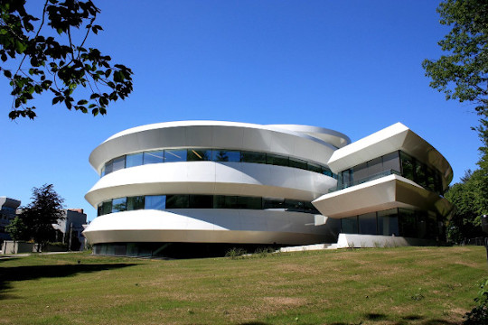
Welcome to the Virtual Tour of the House of Astronomy
Walk from station to station within the panorama window, select a location via the menu bar or use the overview plans below to jump directly to a location by clicking on a red/white spot.
Find out more about our Solar-System-Trail or take part in our Astro Rally across the house.
Help
Panorama Control
Within the panorama window you can rotate the view with the help of the left mouse button. To zoom in or out, you can either use the mouse wheel or click on the (+) or (-) symbol.
If you press on an arrow, you will get to the next panorama. If you press the info icon (i), you will receive additional information; if necessary, a window will pop-up, which you can close again with "close".
Overview Window
In the overview window, you can either have a map of the "Ground Floor" or "Basement" displayed, or you can see a map of our "Solar-System-Trail" based on OpenStreetMap.
If you move within the panorama, the corresponding map is automatically selected and the current position is marked.
Clicking on the red/white spot in a map will take you directly to the corresponding panorama.
Menu
If you want to jump to a specific panorama, you can also do this directly via the left navigation bar.
Astro Rally
More information about the Astro Rally can be found if you click on 'Start' below Astro Rally within the navigation bar.